


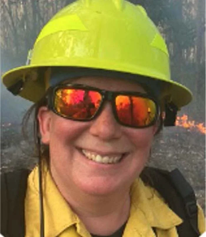
Chris Ferner
Chris Ferner (aka Fern) is a wildland fire professional with over two decades of experience in a variety of roles. Based in the Rocky Mountains of the United States, Fern specializes in geospatial technology and efficiency of data workflows. Her work has included responding to national wildfire incidents as a qualified Geographic Information System Specialist (GISS), supporting global agencies and communities during all-hazard incidents and recovery, participating in prescribed fires as a firefighter, and educating on workflows and best practices using geospatial tools during all cycles of emergency management and disaster response. She is a trainer for those working towards a GISS qualification and is training to become qualified as a Public Information Officer and Plans Section Chief. She has extensive experience at all levels of fire work including local, state, federal and private employment.
Over the past decade she has spoken at national and global conferences sharing how geospatial tools improve efficiency and accuracy of information sharing, both among fire professionals and stakeholders / public. Fern is currently an adjunct faculty at Johns Hopkins University instructing graduate students on the use of geospatial technologies in all phases of the emergency management cycle. She also supports land management agencies in implementation of geospatial technology. With a background in ecology, Fern is a strong believer in the value of fire on the landscape and the ability of technology to aid land managers in the tracking, planning, implementation of fire as well as for response and recovery.